Welcome to the Nutrient Tracking Tool (NTT)
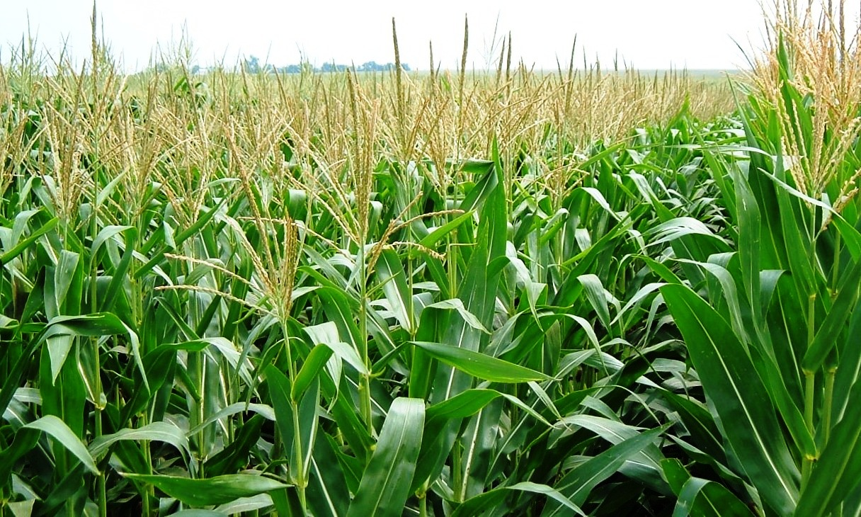
The Nutrient Tracking Tool (NTT) is a free, web-based decision-support tool that helps producers, conservation planners, and land managers evaluate how management decisions influence nutrient and sediment losses, soil carbon sequestration, and overall agricultural productivity. NTT supports informed decision-making by comparing conservation and management practices to identify cost-effective strategies that promote both environmental stewardship and farm profitability. NTT was developed by the modeling team at the Texas Institute for Applied Environmental Research (TIAER) at Tarleton State University, in cooperation with the U.S. Department of Agriculture’s Office of the Chief Economist, Natural Resources Conservation Service (NRCS), and Agricultural Research Service (ARS). The NTT program is available for major cropping systems across most U.S. states, with the exception of Hawaii and Alaska. Designed with usability in mind, NTT serves as a practical tool for conservation planning, outreach, and education.


About NTT
Nutrient Tracking Tool (NTT)
A Decision-Support Tool for Sustainable Agriculture
The Nutrient Tracking Tool (NTT) is a free, web-based decision-support tool designed to help producers, conservation planners, and land managers evaluate how management decisions affect nutrient losses, soil health, and agricultural productivity. NTT provides science-based insights to support practical, cost-effective conservation planning.
What NTT Can Do
• Evaluate nitrogen, phosphorus, sediment, and pesticide losses
• Estimate surface and subsurface runoff
• Assess soil carbon sequestration potential
• Compare environmental and economic impacts by management and conservation practices
• Support productive and environmentally sustainable systems
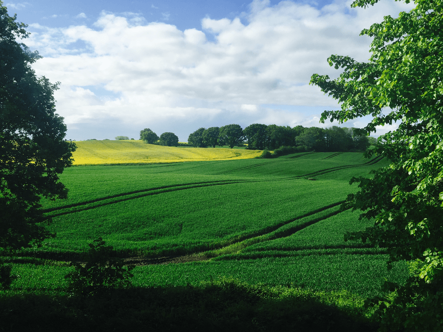
NTT can be applied to cropland, pastureland, and forested systems, making it a versatile tool for a wide range of agricultural and conservation applications.
Who Developed NTT
NTT was developed by the modeling team at the Texas Institute for Applied Environmental Research (TIAER) at Tarleton State University, in collaboration with the U.S. Department of Agriculture’s Office of the Chief Economist, Natural Resources Conservation Service (NRCS), and Agricultural Research Service (ARS).
Where NTT Is Available
NTT is available for major cropping systems across most U.S. states, with the exception of Hawaii and Alaska. The tool is designed to be user-friendly and suitable for conservation planning, outreach, and education.
Why Use NTT?
✔ Make informed management decisions
✔ Improve nutrient use efficiency
✔ Support conservation goals
✔ Protect soil and water resources
How to Access NTT?
✔ Public version: www.ntt.tiaer.tarleton.edu
✔ Education version: www.ntt-re.tiaer.tarleton.edu
For more information, please see the following video.
Disclaimer
Last updated: 15 Sep 2025
The information contained in the Nutrient Tracking Tool (NTT) has been tested for use in selected regions and cropping system using the public and government information. For instance, NTT has been tested in Iowa, Ohio counties surrounding Lake Erie; the Mississippi Delta; Missouri; Yakima County, Washington; northern Oregon; Maryland; Delaware; Pennsylvania; Virginia; Puerto Rico; and Sonoma County, California. Because areas of interest may contain unique geographic, climatic, or management features, the program may not provide appropriate results outside these regions when default model parameters are used. Therefore, all input data and resulting outputs should be carefully reviewed, as errors or omissions in the input data may lead to misleading outcomes.
Testing and validation of NTT across the United States are ongoing. This page will be updated as new information becomes available.
If you have questions regarding the application of NTT or are interested in having the tool calibrated and validated for your area, please contact Dr. Ali Saleh at (254) 592-1975 or via email at saleh@tarleton.edu.
Finally, although NTT has been tested by its developers, no warranty, express or implied, is made regarding the validity of the results or the functioning of the program and its related materials. Distribution of the program does not constitute any such warranty. No responsibility is assumed by the developers for the use or application of NTT or for the interpretation of results generated by the tool.The user assumes all risks and responsibilities associated with the use of NTT. The authors and their affiliated institution, Texas Institute for Applied Environmental Research, Tarleton State University, and any other U.S. Government agencies will not be liable for any damages arising from the use of, or inability to use, NTT, its databases, results, or documentation. This includes, but is not limited to, lost profits, lost savings, lost time, regulatory actions, or any other direct, indirect, incidental, or consequential damages.
General Description Video
Water Quality Training Video
Contact Us
For detailed information please refer to the manual or contact Dr. Ali Saleh by e-mail at saleh@tarleton.edu or by phone (254) 968-9799. For technical support please contact Ali Saleh or Oscar Gallego at (gallego@tarleton.edu).
What's New
Updates
December 1, 2019:
- Tier 1 Validation has been completed for all of the lower 48 states. Parameter files have been updated in NTT. Ohio and Minnesota have been validated using field-scale data (Tier 2 Validation). Where we have field scale data we will continue to improve parameters in NTT. Please review the validation information available by clicking on validation on the bottom of the home page. Stay tuned for more updates.
- Currently, the soil surface slope is calculated based on one centroid pixel (30-m or less) representing each soil type within the area of interest (AOI). Now, the modified slope routine in NTT will calculate the average slope for all existing pixels for each soil type within the AOI. This improves the value of calculated slope for AOI in most cases.
February 2020 (Version 20-2):
An official version of NTT (Version 20-2) released with following modifications:- The weather data period was expanded to Dec. 30 2018. NTT simulation period now spans between 1981 and Dec. of 2018.
- The mapping system was upgraded to make it faster and more reliable.
- The crop database planting/harvest dates was updated for different regions of country.
- The conservation practices page now includes fencing. Fencing has the effect of eliminating direct manure deposits into the stream and creating a de-facto buffer between the fence and the stream that reduces erosion and surface runoff.
September 2021 (Version 21-9):
Science and Technical- Farm Economic model (FEM) added to evaluate the economic impact of conservation practices.
- Modification of APEX tile drainage routine to simulate soil profile water content.
- Modification of tile bioreactors routine to tile drain system.
- Modification of drainage water management practice to tile drain system.
- Addition of saturated buffer practice to tile drain system.
- Addition of start and end date for auto-irrigation practice.
- Reservoir routine was added to the list of conservation practices.
- An optional length input was added for grass waterways.
- Modified soil-P so that it is refreshed at the start of each crop rotation to the user-supplied soil-P value.
- Soil maximum depth was set to 2.0 m (6 feet) for all soils.
- PRISM weather information extended to year 2019 (as always NTT is simulated using the last 30-years of updated weather)
- Soils data was updated using USDA-NRCS 2019 soil survey data.
- Economic databases were included for FEM simulations.
- Help, user manual, and page instructions were updated and made available on the site.
- A forum page was added to the site.
- An email system was added to submit any posted user’s question in the forum in developers’ desk for possible assistance.
- An FAQ page was added to organize and post the most common questions asked in the forum to assist other users.
- Function allowing users to copy scenarios from other project or field in “Management Scenario” page was added.
- Combined harvest and end of season operations in one in “Operation”
- Functionality added to allow user to select “initial year” and “final year” for the tabular report.
- Updated “tabular results” page to allow users to compare any number of simulated scenarios instead of limiting to just 3.
- Added an automated function to route runoff, sediment, and nutrient between fields (subbasins) based on the slope order of simulated field (sub-basins) slope.
- The APEX download button was moved to the actions columns, so the user does not need to simulate a scenario in order to download the APEX folder before running other one (available in NTT-RE version).
October 2023 (Version 23-10):
- C Sequestration rate at 12 in. soil depth, 'CO2 equivalent', and 'Climate Impact' are added. Now you can see in the results.
- Streambank stabilization was updated with two possible options:
- Option 1: Streambank stabilization. Stream bed is stabilized to prevent channel and nutrient losses under this practice.
- Option 2: Streambank restoration. Stream bed is stabilized and vegetated to prevent channel erosion and nutrient losses under this practice.
- Tile drain management options were updated. For instance, under the Drainage Water Management scenario, user is able to select the periods when the tile drain is open and/or closed.
- The SSURGO soils data is updated as of June of 2024.
- The weather information were updated from PRISM data up to year 2021.
- The simulation period is updated from 1987 to 2021 keeping the same 35 years as simulation period. However, the user can see the simulation results for any given years.
- More variables were added in the monthly chart results page. Note, for projects created prior to this new version (23-10) to be able to view all of the new variables the scenarios need to be re-simulated.
- User is able to delete any soil type from soil table in NTT-re version.
- Additional buttons in NTT were added to better help the users in running NTT.
- A new button has been added in all pages allows the user copy and save the project at any time.
- User is now able to select to add or replace the new field/fields to the exiting when uploading a zip file.
February 2024 (Version 23-10):
- Soil Test P (STP) - NTT users are able to input the measured STP and measured STP depth. This will affect the crop P requirement in certain use cases. Please review your project accordingly when using this feature.
- Crop, N, P, Water, and Temperature Stress Levels - The tabular output results were updated to demonstrate the Crop N, P, Water, and Temperature Stress in ntt.tiaer.tarleton.edu (Public Version). This information will assist NTT users to diagnose the possible deficiencies to optimize their crop yield. This table is already available in NTT-RE version (ntt-re.tiaer.tarleton.edu).
October 2025 (Version 25-10):
- PRISM weather information extended to year 2024 (as always NTT is simulated using the last 35-years of updated weather)
- Soils data was updated using USDA-NRCS 2024 soil survey data.
- Structural Conservation Page was updated to present a more comprehensive way to manage the different kind of SCP added for each scenario
- The Oxbow (Tile Drain Management) was added
- Now the operations in Utility Files page (ntt-re.tiear.tarleton.edu - education version) are linked to each subrea, including those added as conservation practices
- Excel output results was improved
- Grass and Riparian Forests Conservation Pratices were improved.
- Autoirrigation for dripping was updated making it more accurate.
- The application was also updated in order to have a faster response in all of the pages including the simulation of scenarios
About NTT
Nutrient Tracking Tool (NTT)
A Decision-Support Tool for Sustainable Agriculture
The Nutrient Tracking Tool (NTT) is a free, web-based decision-support tool designed to help producers, conservation planners, and land managers evaluate how management decisions affect nutrient losses, soil health, and agricultural productivity. NTT provides science-based insights to support practical, cost-effective conservation planning.
What NTT Can Do
• Evaluate nitrogen, phosphorus, sediment, and pesticide losses
• Estimate surface and subsurface runoff
• Assess soil carbon sequestration potential
• Compare environmental and economic impacts by management and conservation practices
• Support productive and environmentally sustainable systems
NTT can be applied to cropland, pastureland, and forested systems, making it a versatile tool for a wide range of agricultural and conservation applications.
Who Developed NTT
NTT was developed by the modeling team at the Texas Institute for Applied Environmental Research (TIAER) at Tarleton State University, in collaboration with the U.S. Department of Agriculture’s Office of the Chief Economist, Natural Resources Conservation Service (NRCS), and Agricultural Research Service (ARS).
Where NTT Is Available
NTT is available for major cropping systems across most U.S. states, with the exception of Hawaii and Alaska. The tool is designed to be user-friendly and suitable for conservation planning, outreach, and education.
Why Use NTT?
✔ Make informed management decisions
✔ Improve nutrient use efficiency
✔ Support conservation goals
✔ Protect soil and water resources
How to Access NTT?
✔ Public version: www.ntt.tiaer.tarleton.edu
✔ Education version: www.ntt-re.tiaer.tarleton.edu
For more information, please see the following video.
Disclaimer
Last updated: 15 Sep 2025
The information contained in the Nutrient Tracking Tool (NTT) has been tested for use in selected regions and cropping system using the public and government information. For instance, NTT has been tested in Iowa, Ohio counties surrounding Lake Erie; the Mississippi Delta; Missouri; Yakima County, Washington; northern Oregon; Maryland; Delaware; Pennsylvania; Virginia; Puerto Rico; and Sonoma County, California. Because areas of interest may contain unique geographic, climatic, or management features, the program may not provide appropriate results outside these regions when default model parameters are used. Therefore, all input data and resulting outputs should be carefully reviewed, as errors or omissions in the input data may lead to misleading outcomes.
Testing and validation of NTT across the United States are ongoing. This page will be updated as new information becomes available.
If you have questions regarding the application of NTT or are interested in having the tool calibrated and validated for your area, please contact Dr. Ali Saleh at (254) 592-1975 or via email at saleh@tarleton.edu.
Finally, although NTT has been tested by its developers, no warranty, express or implied, is made regarding the validity of the results or the functioning of the program and its related materials. Distribution of the program does not constitute any such warranty. No responsibility is assumed by the developers for the use or application of NTT or for the interpretation of results generated by the tool.The user assumes all risks and responsibilities associated with the use of NTT. The authors and their affiliated institution, Texas Institute for Applied Environmental Research, Tarleton State University, and any other U.S. Government agencies will not be liable for any damages arising from the use of, or inability to use, NTT, its databases, results, or documentation. This includes, but is not limited to, lost profits, lost savings, lost time, regulatory actions, or any other direct, indirect, incidental, or consequential damages.